Case Study
Cornwall: Bodmin Moor fringe
The leading Cornwall cluster sits near the Blisland and St Neot side of Bodmin Moor. In the balanced scenario it is the strongest large candidate landscape in the national shortlist, not because of one standout cell, but because many neighbouring cells score well together.

Why it surfaced
This zone performs strongly because the cells sit close to existing habitat but are not already dominated by it. In other words, the model sees good ecological connection and real room for recovery.
The Cornwall cluster also holds together as a landscape, not just a single winning cell. Thirty-one shortlisted cells fall into the same broader zone.
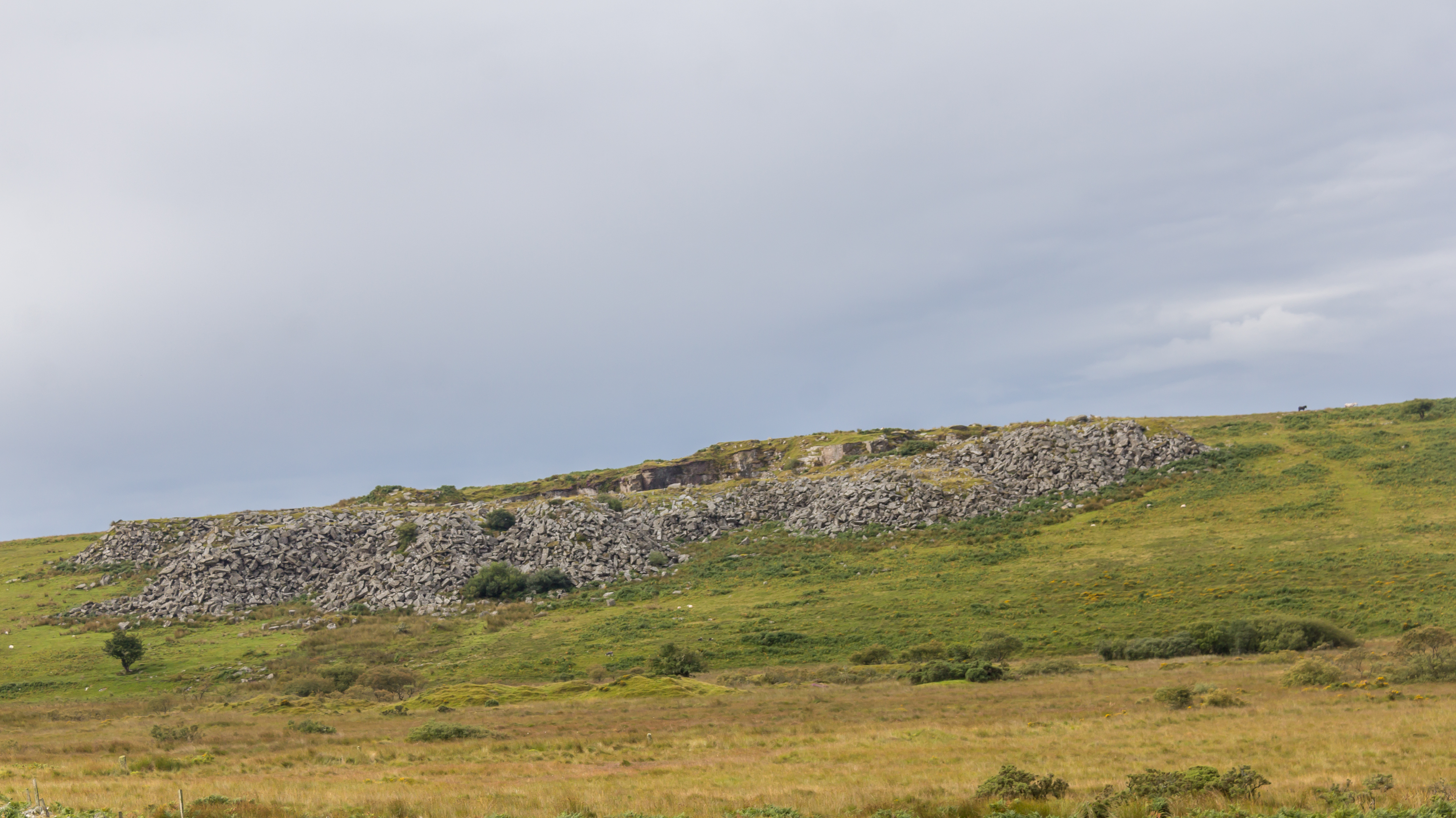
What the place is like now
The highest-scoring cells geocode near Blisland and St Neot on the Bodmin Moor fringe. This is a landscape of open moor, rough grazing, hedged fields, and ecological mosaic rather than a single land-use block. Cornwall Council's landscape material emphasises the relationship between geology, field patterns, habitat diversity, and cultural landscape history across Cornwall. That present-day character helps explain why this zone suits the model's logic of networked recovery.
One of the Cornwall hexes also appears in the validation summary as a strong cross-scenario case, ranking near the top under all three scenario lenses. That makes Cornwall especially useful as a public-facing example of the model's stable core.
What still needs checking locally
- Ownership pattern and willingness to participate
- Condition of existing habitat patches and surrounding farmland
- Water, access, and protected-site constraints
- Whether local priorities align with landscape-scale restoration here