Case Study
Somerset: Meare and the Levels and Moors
The Somerset cluster is smaller than Cornwall but very clear as a model example: very low existing habitat share, very high connectivity, and a strong restoration score in a peat-based lowland wetland setting.

Why it surfaced
Somerset matters because it shows the model's central idea very clearly. The shortlisted cells sit close to habitat networks, but they contain very little existing priority habitat themselves. The model is not just rewarding what already exists. It is picking up real recovery headroom.
The zone also matters because one cell from this wider area rises under the nature-first scenario, when peat, flood, and biodiversity matter more. So Somerset is not only a balanced candidate.
What the place is like now
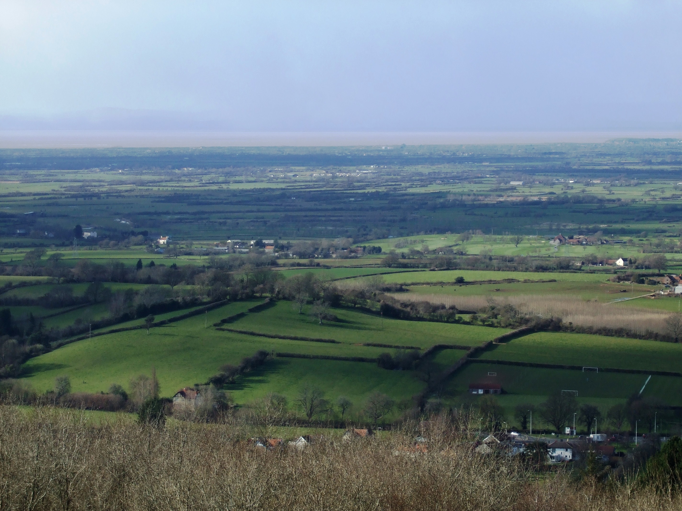
The top cells geocode near Meare and Sharpham, placing them in the wider Somerset Levels and Moors landscape. Somerset Council describes this as a rural, peat-based wetland landscape crossed by the Tone, Parrett, Axe, and Brue systems. That current character is important: it provides a real-world explanation for why peat and hydrological opportunity are likely to matter here.
On the ground, this is a landscape of low-lying pasture, drainage infrastructure, wetlands, and broad floodplain processes. That makes it one of the clearest links between the model's abstract scoring logic and a recognisable restoration geography.
What still needs checking locally
- Flood-management constraints and opportunities at site scale
- Current farm systems and land management arrangements
- Peat condition, water levels, and restoration practicality
- Alignment with local wetland and nature recovery priorities